

A LITTLE HISTORY
THE SALT ROAD
image credits mediamontagna.it
AN ANCIENT ROUTE
An experience that offers a unique panorama.
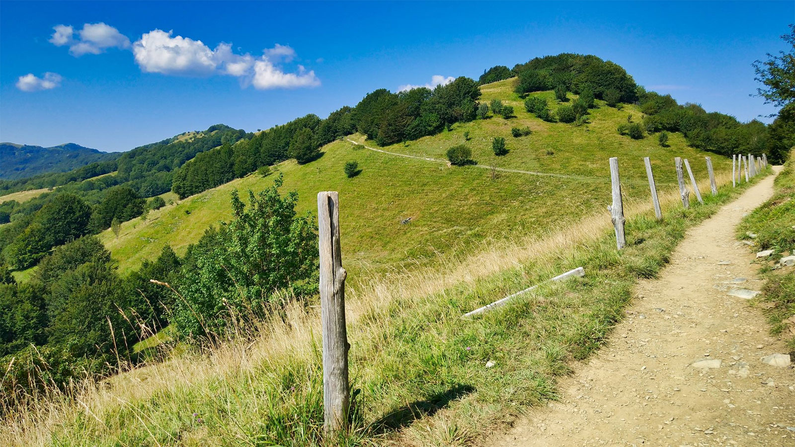
The Salt Road is an ancient route about 90 km long, winding through four regions from Varzi to Portofino, crossing unique landscapes, historic villages, and extraordinary lands. A historic land of passage for merchants and mule drivers, the route runs along the northern Apennines, offering a unique panorama from which to observe the valleys, plains, and Alps, which can be glimpsed as soon as you begin to climb the Apennine peaks. Continuing on, you descend towards the last stage, the sea, accompanied by its scents and colors that mark the way to your destination.
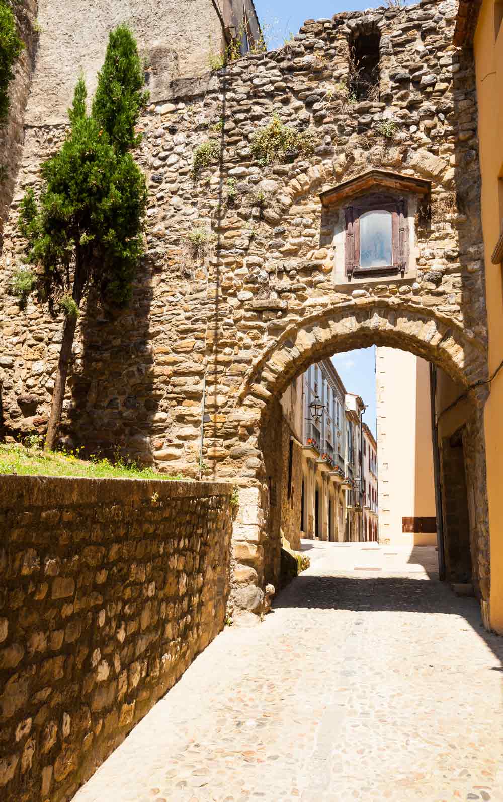
The starting point is Varzi, which at the time of the Malaspina family, when the Via del Sale was very busy, was a commercial center of primary importance in connecting the sea and the city of Pavia. In fact, the route originated as a communication route between the hinterland and the Ligurian Sea as early as Roman times and became particularly important in the Middle Ages for the transport of precious salt, used for food preservation.
The ideal place to start the route
Thanks to its strategic location, just a 5-minute walk from Varzi’s Piazza del Mercato, BE Via del Sale is the ideal place to start your journey.
Whether you decide to continue on foot or by bike, BE Via del Sale has the right solution for you! Comfortable rooms and a secure bike room where you can store your bike. The facility is equipped with amenities and services to ensure you have all the comfort you need.
The 4-stage route
First stage
Departure: Varzi
Arrival: Capanne di Cosola
Length: 20 km
Difficulty: medium-high
Elevation gain: +1,445 meters
Duration: 7-9 hours
From BE Via del Sale in Varzi, the route starts from Piazza del Mercato, heading towards a bridge that crosses the Staffora stream and continues along a dirt road heading south. After about 800 meters, take a marked trail that begins to climb steeply between rocks and steps, leading to the village of Monteforte (697 m).
Following Sentiero del Grillo n° 036 climbs through chestnut woods until it crosses the SP 91 road. Along this road, you reach the village of Castellaro (760 m), from where you continue through junctions, hairpin bends, and a beech forest until you reach Pian della Mora (1380 m), where there is a picnic area and a bivouac.
After crossing the summit meadows, you will come across the Via del Mare trail (no. 105) and continue along the Apennine ridge, passing several peaks: Monte Boglelio, Monte Bagnolo, Colle della Seppa, Monte Garave, and finally skirting Monte Rotondo. The climb culminates at Monte Chiappo (1701 m), the highest point of the itinerary, where there is a statue of St. Joseph the carpenter and a wide panorama of the Alps, the Po Valley, and the Ligurian Sea.
The route ends with a descent towards Capanne di Cosola or Capannette di Pej.
Second stage
Departure: Capanne di Cosola
Arrival: Torriglia
Length: 24 km
Difficulty: Medium-high
Elevation gain: +645 meters
Duration: 8-10 hours
The route starts from Capanne di Cosola (1,496 m) and touches on some of the most evocative peaks in the area: Monte Cavalmurone (1,670 m), Monte Legnà (1,669 m) and Monte Antola (1,597 m). The route winds its way through panoramic ridges, beech woods, open pastures and small mountain villages such as Capanne di Carrega.
You will pass iconic landmarks such as the Sella di Cartasegna, the panoramic plateau overlooking Lake Brugneto, and the Passo delle Tre Croci, before reaching the Monte Antola mountain refuge. From here, an ancient mule track descends towards Torriglia (769 m), through ever-changing landscapes rich in history.
A long but fascinating itinerary that combines nature, breathtaking views and the atmosphere of times gone by.
Third stage
Partenza: Torriglia
Arrivo: Uscio
Lunghezza: 23 km
Difficoltà : medio-alta
Dislivello: + 620 metri
Durata: 7- 9 ore
The third stage of the Via del Sale starts from the centre of Torriglia (GE) and begins with a climb along the SP62 for about 2 km, passing through the Buffalora tunnel. Shortly afterwards, it climbs to Colle della Lavagnola in less than two hours. From here, continue along a mule track following the signs for the Alta Via dei Monti Liguri (AVML) towards Passo della Scoffera, passing through Colla dei Rossi (846 m) and crossing the SP20.
The route continues along the ridge, passing Monte Castelluzzo, Monte Pertegone and Croce di Bragalla, until it reaches San Alberto (695 m), where you will find the Rosabruna bar/restaurant, ideal for a break.
Next to the restaurant, there is a marked trail that leads to Colle di Monte Bado and Colle della Speranza. From here, follow a flat trail to the paved road of Monte Fasce, passing through Case Cornua (630 m) and arriving at the small Alpine church, which offers a splendid view of the Ligurian Sea.
Finally, a descent takes you to the end of the stage in about 30 minutes: Colle Caprile (481 m).
Fourth stage
Departure: Uscio
Arrival: Portofino
Length: 18 km
Difficulty: medium-high
Elevation gain: +561 metres
Duration: 6-8 hours
This picturesque stage winds through the Ligurian hinterland and the coast of the Portofino promontory, with a total elevation gain of +1050 m and a total elevation loss of -1500 m.
The route starts from Colle Caprile (481 m), from where you descend towards Uscio (335 m). After about 1.5 km, turn left towards the historic Colonia Arnaldi, now a wellness centre. Then follow the VM trail markers (two red circles) until you reach Passo dei Casetti (549 m), where you will find the Madonna del Ciappeu.
Continue without reaching the summit of Monte Tugio, until you reach Passo della Spinarola (542 m), and then along scenic stretches up and down the western slopes of Mount Borgo and Mount Bello, until you reach Passo del Gallo (486 m). Shortly afterwards, you will come across the Caravaggio Bivouac, with a possible detour towards Recco.
The trail continues downhill with sections of concrete steps, arriving at Ruta di Camogli (256 m), a natural terrace overlooking the sea. After a short stretch on asphalt, it climbs back up towards Portofino Vetta and Sella Gaixella (408 m), passing houses and dirt tracks.
From here, a pleasant road through the woods leads to Pietre Strette (467 m), passing through pine forests and rocky stretches. The final descent through villas and Mediterranean vegetation leads to the centre of Portofino, concluding the stage on the Via del Sale.
Recommendations
How to get to Varzi:

Help
From Pavia, take the SS 35 dei Giovi road; after the bridge over the River Po, continue towards Voghera and follow the former SS 461 del Penice road.
From Milan, take the A7 motorway, exit at Casei Gerola, head towards Voghera, then follow signs for Varzi (formerly SS 461).
From Genoa, take the A7 motorway, exit at Tortona, head towards Voghera, then follow signs for Varzi (formerly SS 461).
From Turin/Piacenza, take the A21 motorway, exit at Voghera, then follow signs for Varzi (formerly SS 461).
Road distances in KM from: Voghera 35, Pavia 55, Milan 100, Turin 155, Genoa 110.

Train
Voghera railway station, then take the bus to Varzi.

Bus
From Voghera, Pavia and Milan Famagosta M2: Line no. 120 Soc. PLEASE NOTE: some services/lines do not operate on public holidays.

GPS
From Voghera, Pavia and Milan Famagosta M2: Line no. 120 Soc. PLEASE NOTE: some services/lines do not operate on public holidays.

Clothing and equipment: It is advisable to wear sturdy walking shoes and bring clothing suitable for the season, including a hat, sunglasses and sunscreen.
THE SALT ROAD
Let yourself be enveloped by the fresh air and colours of the Apennines.
The Salt Road is a route rich in history and natural beauty waiting to be discovered. Let yourself be captivated by the fresh air and colours of the Apennines.
Immerse yourself in the culture and savour the typical products of the land and sea, from coarse-grained, matured Salame di Varzi DOP with its sweet, aromatic flavour to sweet and savoury pastries and baked goods.
contacts